 1
 2
 3
 4
 5
 6
 7
 8
 9
10
11
12
13
14
15
16
17
18
19
20
21
22
23
24
25
26
27
28
29
30
31
32
33
34
35
36
37
38
39
|
import pandas as pd
import pygmt

# Load sample iris data, and convert 'species' column to categorical dtype
df = pd.read_csv("https://github.com/mwaskom/seaborn-data/raw/master/iris.csv")
df["species"] = df.species.astype(dtype="category")

# Use pygmt.info to get region bounds (xmin, xmax, ymin, ymax, zmin, zmax)
# The below example will return a numpy array like [0., 3., 4., 8., 1., 7.]
region = pygmt.info(
    table=df[["petal_width", "sepal_length", "petal_length"]],  # x, y, z columns
    per_column=True,  # report output as a numpy array
    spacing="1/2/0.5",  # rounds x, y and z intervals by 1, 2 and 0.5 respectively
)

# Make our 3D scatter plot, coloring each of the 3 species differently
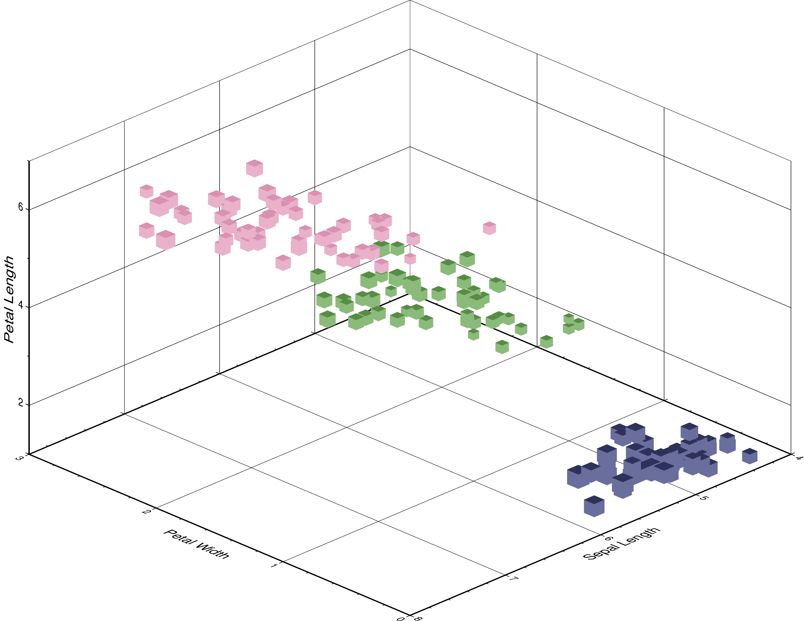
fig = pygmt.Figure()
pygmt.makecpt(cmap="cubhelix", color_model="+c", series=(0, 3, 1))
fig.plot3d(
    x=df.petal_width,
    y=df.sepal_length,
    z=df.petal_length,
    sizes=0.1 * df.sepal_width,  # Vary each symbol size according to a data column
    color=df.species.cat.codes.astype(int),  # Points colored by categorical number code
    cmap=True,  # Use colormap created by makecpt
    region=region,  # (xmin, xmax, ymin, ymax, zmin, zmax)
    frame=[
        "WsNeZ3",  # z axis label positioned on 3rd corner
        'xafg+l"Petal Width"',
        'yafg+l"Sepal Length"',
        'zafg+l"Petal Length"',
    ],
    style="uc",  # 3D cUbe, with size in centimeter units
    perspective=[315, 25],  # Azimuth NorthWest (315°), at elevation 25°
    zscale=1.5,  # Vertical exaggeration factor
)
fig.show()
|
